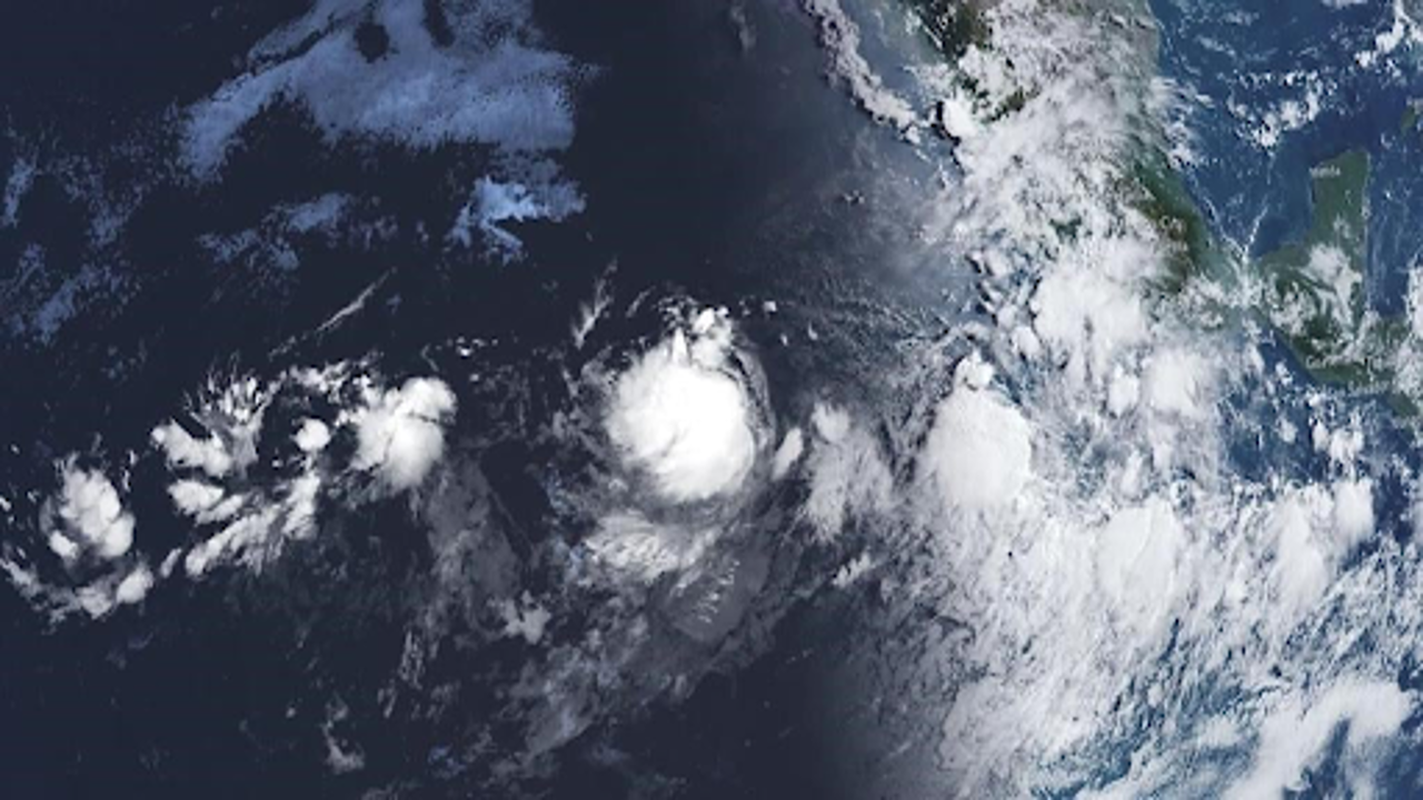
Hurricane Gilma has reached Category 2 and is expected to strengthen further, according to forecasters. (Toronto Star)
Hurricane Gilma intensified into a Category 2 storm on Wednesday afternoon as it churned in the eastern Pacific Ocean. Forecasts indicate that the hurricane could reach Category 4 status by Thursday. As of the latest update, Gilma was situated approximately 975 miles (1,570 kilometres) west-southwest of Mexico’s Baja California peninsula.
The storm has been strengthening steadily, having first gained tropical storm status on Sunday. Meteorologists are closely monitoring its development as Gilma continues to move west-northwest at a speed of 7 mph (11 kph). Despite its growing intensity, there are currently no coastal watches or warnings in place.
Gilma’s maximum sustained winds have reached around 105 mph (165 kph). The storm’s hurricane-force winds extend up to 30 miles (48 kilometres) from its center, while tropical-storm-force winds stretch out to 125 miles (205 kilometres). As the hurricane progresses, it is expected to intensify further, potentially impacting the region with stronger winds and heavier rainfall.
While Hurricane Gilma’s path remains far from land at the moment, the situation is being monitored closely due to its rapid strengthening. Forecasters are keeping an eye on its trajectory to provide timely updates and warnings as necessary. The storm’s development highlights the need for vigilance in the affected regions as it approaches.


