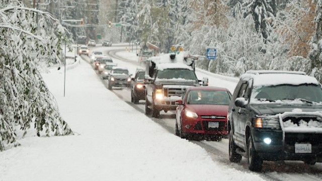
Snow falls on the Sea to Sky Highway near Whistler. (Shutterstock)
Metro Vancouver is bracing for a mix of winter weather this week, including heavy rainfall, snow, and frigid temperatures. Environment Canada has issued weather warnings and special statements, as Arctic air combines with a low-pressure system, making for a chilly and unpredictable forecast.
Derek Lee, a meteorologist with Environment Canada, predicts that two distinct weather systems will bring precipitation to the region. The first system, moving through on Thursday, January 30, will bring rainfall from the Pacific, lasting through Friday. Coquitlam, Maple Ridge, and the North Shore mountains are expected to see over 50 mm of rain, with Richmond, Burnaby, New Westminster, Surrey, Delta, and Vancouver anticipating 20 to 40 mm.
Higher elevations could experience up to 4 cm of snow, but areas near sea level are likely to see mixed precipitation, although it’s unlikely to accumulate. As the rain eases on Friday night, temperatures are expected to drop sharply as Arctic air from the Yukon sweeps into the region, ushering in wintery conditions that will last into next week.
A low-pressure system over Vancouver Island will continue to bring moisture, making it difficult to predict the exact amount of snow or when it will fall. The system is not a straightforward storm but involves rotating bands of precipitation that may or may not affect specific areas, according to Lee.
Although there’s some uncertainty around the snow, temperatures are expected to be cold enough to allow for snowfall on several days next week. "The temperatures are low enough that snow could also stick around," Lee added. There’s potential for significant snowfall, but it’s also possible that it could be minimal.
Outflow winds from the interior will also contribute to the chill, gusting up to 30 km/h and making temperatures feel even colder. Over the weekend and into next week, overnight temperatures could dip to -3°C or -4°C, but the wind chill will make it feel like -5°C to -10°C.
Environment Canada is keeping an eye on the weather and will issue further warnings for snowfall and Arctic outflows as necessary. The forecast for the first half of February indicates below-normal temperatures, although temperatures are expected to rise by mid-week once the low-pressure system passes and high-pressure moves in.
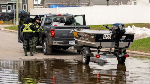
As the weather turns colder and more unpredictable, Lee advises caution, especially for drivers. Quickly accumulating snow can significantly reduce visibility on B.C. highways, and weather conditions in the mountains and on the highways may change unexpectedly, creating hazardous driving conditions. Drivers are urged to use winter tires and chains in required areas and to check current road conditions through Drive BC.
Those going outside should also be mindful of the weather conditions and take proper precautions to stay safe during the wintry mix of rain, snow, and cold temperatures.