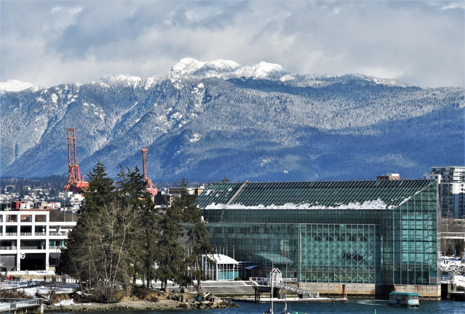
Vancouver residents woke up to heavy snowfall across the city on Feb. 26, 2023. Photo: NOrth Shore News
Winter Weather Returns As Snow Lovers In B.C. Get More Snow
Date: March 09, 2026
Source: The Weather Network

Vancouver residents woke up to heavy snowfall across the city on Feb. 26, 2023. Photo: NOrth Shore News
A powerful wave of winter weather is set to bring fresh snow across parts of British Columbia this week, creating ideal conditions for ski resorts along the South Coast. Weather experts say the region could see one of the snowiest stretches of the season as colder air and moisture move into the area.
The pattern forming over the Pacific is unusual and could bring snowfall not only to the mountains but also to some lower areas along the coast.
Vancouver’s main airport has not recorded measurable snowfall since Feb. 8, 2025. The upcoming weather system could bring the first chance of snow there in more than a year.
Cold Air Moves Toward the Coast
The weather change begins with a large pocket of cold air that formed over eastern Siberia and Alaska. This cold air has started moving across the Gulf of Alaska.
As the chilly air reaches the coast of British Columbia, it will meet moisture from the Pacific Ocean. That mix of cold air and moisture often leads to snowfall.
The conditions will be especially welcome news for ski resorts along the South Coast, where the fresh snow could boost slopes during the later part of the winter season.
Snow Expected Early In The Week
Snow showers could begin Monday in several northern coastal communities.
Areas such as Haida Gwaii and Prince Rupert may see snow first, with the weather gradually moving south toward northern Vancouver Island. Higher ground will likely see the greatest snowfall.
Some communities could receive between 5 and 15 centimetres of snow, particularly locations sitting more than 200 metres above sea level.
Even parts of Greater Victoria, including the West Shore and the Malahat area, could see a few centimetres of snow by Monday night.
Midweek Snow Brings More Surprises
Weather conditions may become more interesting Tuesday and Wednesday.
A weak weather system will remain just northwest of Haida Gwaii while colder air continues to move into the region. As temperatures cool slightly above ground level, snowfall could develop in several areas.
Higher elevations in Metro Vancouver could see 5 to 10 centimetres of snow, especially locations above 200 metres. Inland sections of Vancouver Island and the Sunshine Coast may also receive measurable snowfall.
Parts of the Fraser Valley may also experience snow accumulation.
Some forecasts even suggest snowfall could reach Tofino. Snow rarely falls there, making such an event unusual for any time of the year, especially in March.
However, snowfall may vary greatly from place to place. Some communities might see only light snow or none at all, while short bursts of heavier snowfall could bring totals close to 10 centimetres.
More Snow Possible Later In The Week
Temperatures may rise slightly by Wednesday, pushing the freezing level to around 600 metres above sea level.
But colder air could return again later in the week. Forecasts show another wave of cool weather arriving Thursday night and continuing into Friday. This could bring another chance of snow to lower elevations along the coast.
Heavy Snow Expected In The Mountains
Mountain areas could receive the most dramatic snowfall.
Forecasts suggest that parts of Vancouver Island and the Coast Mountains could collect more than 100 centimetres of snow during the week.
While the snow will benefit winter recreation areas, it may also increase avalanche risk in the mountains. Experts say avalanche danger will likely remain moderate to high during this snowy period.
Residents and travellers in mountainous areas should remain cautious as conditions change throughout the week.