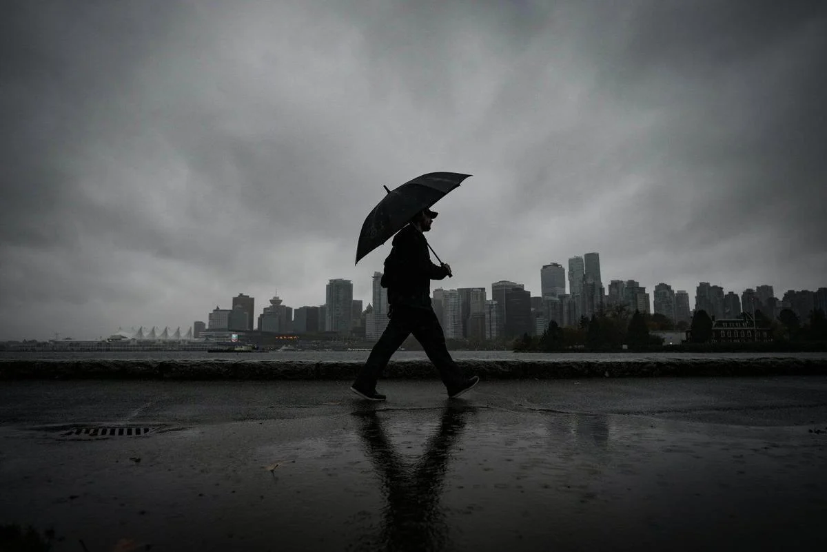
A man walks along the Stanley Park seawall in Vancouver, using an umbrella to protect himself from the rain on October 19, 2024. THE CANADIAN PRESS
A powerful storm from the Pacific has begun to sweep across British Columbia, bringing heavy rain, strong winds, and rising خطر of floods and avalanches.
Heavy Rain Hits Coastal Areas
Environment Canada has issued warnings for several regions, including western and northern Vancouver Island and parts of the central and inland coast. Forecasters expect between 100 and 250 millimetres of rain in these areas.
The intense rainfall may lead to flooded roads, landslides, and washouts. Officials have urged residents to stay alert as conditions continue to worsen.
In Martin Valley, authorities issued an evacuation alert on Monday afternoon. Residents living between Highland Drive and Garden Drive have been asked to prepare to leave their homes quickly if needed due to possible flooding and landslide risks from nearby Mount Caro Marion.
Travel Conditions Worsen
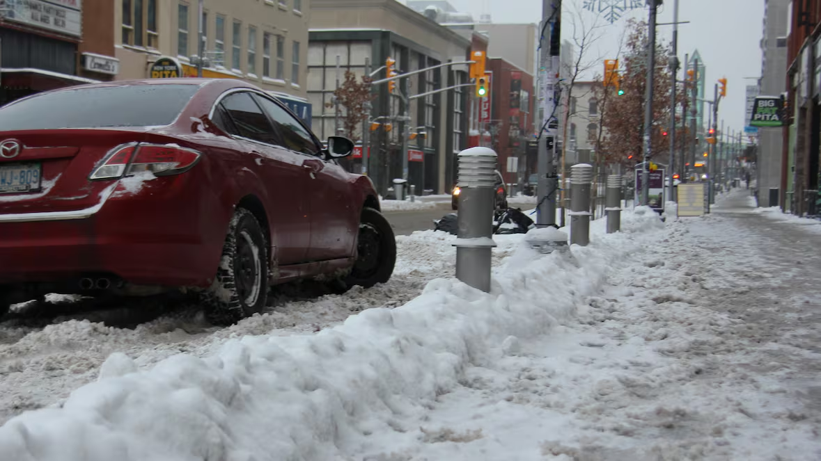
Road conditions have become more dangerous as heavy rain collects on highways. Drivers in Vancouver Island face pooling water, while those in southern Interior and northern coastal areas must deal with snow-covered routes.
Eastern Vancouver Island and northern Metro Vancouver may receive up to 150 millimetres of rain. At the same time, Interior and northern communities could see snowfall reaching 15 centimetres.
Avalanche Risk on the Rise
Avalanche Canada has raised the danger level to high in many mountain regions, including Vancouver Island, coastal areas, and the Rockies.
"Of all the regions about to get walloped by this storm, the central Columbias is our top contender for weak layers producing large, destructive avalanches," Avalanche Canada says.
Experts warn that heavy snow, strong winds, and warmer temperatures could trigger natural avalanches.
"Heavy snowfall, strong wind and rising temperatures are expected to begin a natural avalanche cycle," the agency says.
Officials advise people to avoid avalanche-prone areas until conditions improve.
Rivers and Streams Under Pressure
The River Forecast Centre has issued flood watches for northern and western Vancouver Island and parts of the central coast. Rivers in these areas may overflow as water levels rise.
"This transition to warmer temperatures and higher freezing levels may produce rain-on-snow runoff," the centre says.
Melting snow at lower elevations could add to the volume of water flowing into rivers, increasing the risk of flooding.
High-streamflow advisories remain in place for several regions, including Metro Vancouver, Greater Victoria, the North Coast, and the Fraser area near Prince George.
Snow and Wind Add to the Impact
Higher elevations continue to see heavy snowfall. A winter storm warning is in effect for Whistler and sections of the Sea to Sky Highway, where up to 20 centimetres of snow may fall before changing to rain.
Strong winds are also expected, with gusts reaching up to 90 kilometres per hour in areas such as the Fraser Canyon and Chilcotin.
Storm to Continue Through the Week
Forecasters say the storm will move in waves, bringing repeated rounds of rain and snow through the early and middle part of the week.
As conditions shift, officials continue to monitor the situation closely and urge residents to stay prepared.