Environment Canada has released a special weather statement for Toronto, warning that the city may receive between 20 and 40 millimetres of rain beginning Tuesday night and continuing into Wednesday. (Photo credit: CBC)
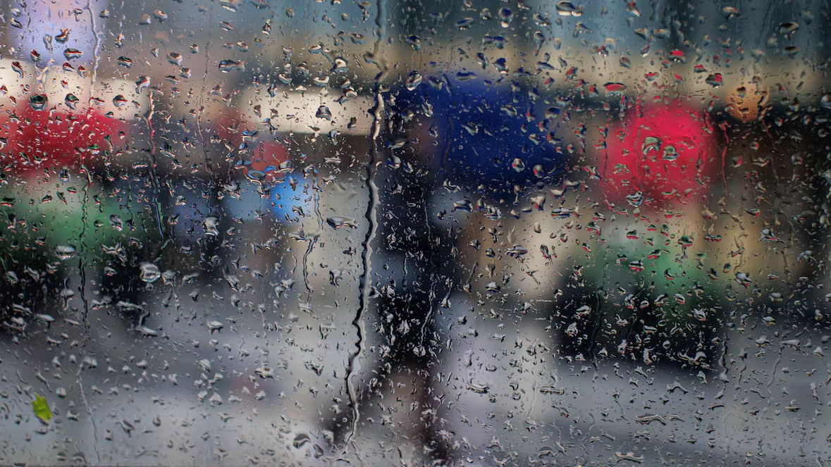
Toronto residents may experience a period of heavy rainfall this week as weather systems move across southern Ontario. Forecasters say the city could receive a notable amount of rain, which may lead to flooding in some low-lying areas.
Environment Canada released a special weather statement Monday afternoon warning about the possibility of 20 to 40 millimetres of rain in the Toronto area.
Officials say the rainfall will likely begin Tuesday night and continue through Wednesday, bringing wet conditions to the region.
Rainfall May Increase in Storm Areas
The federal weather agency notes that rainfall totals could increase in locations where thunderstorms develop.
According to the statement, weather conditions may cause rain to fall heavily at times, which could raise the risk of water buildup in certain neighbourhoods.
"The saturated or frozen ground will have little ability to absorb this rainfall," Environment Canada said in the statement.
Because the ground remains either frozen or already wet from earlier weather, it may not absorb much of the incoming rain. As a result, water may collect quickly on roads and in lower areas.
Multiple Weather Systems Moving Through
Meteorologists say a series of low-pressure systems will move across southern Ontario during the week. These systems typically bring unsettled weather, including rain and strong cloud formations.
As the systems pass through the region, they may produce steady rainfall along with occasional heavy bursts.
Forecasters say such conditions sometimes create temporary flooding, particularly in areas where drainage becomes overwhelmed.
Risk of Local Flooding
Authorities warn that sudden heavy rainfall could cause flash flooding in some locations.
"Heavy downpours may cause flash floods and water pooling on roads. Localized flooding in low-lying areas is possible," Environment Canada said.
Drivers and pedestrians should remain cautious during periods of intense rain. Water pooling on roads can make driving conditions difficult and reduce visibility.
Officials encourage residents to stay informed about weather updates throughout the week.
Possible Rainfall Warnings Ahead
Environment Canada continues to monitor the approaching weather systems closely. The agency may release additional warnings if conditions worsen.
As the low-pressure systems move closer to Ontario, forecasters will assess rainfall amounts and determine whether official rainfall warnings become necessary.
Weather experts advise residents to prepare for wet conditions by checking drainage around homes, planning travel carefully, and staying updated on the latest forecasts.
Staying Prepared for Changing Weather
While heavy rainfall often passes quickly, sudden downpours can still disrupt daily routines.
Residents in areas prone to flooding may want to monitor local conditions, especially near rivers, creeks, and low-lying neighbourhoods.
Officials emphasize that preparation and awareness remain the best way to reduce risks during periods of intense weather.
For now, Toronto can expect a wet midweek stretch as the approaching weather systems bring steady rainfall across the city.