Blizzard and snow squall warnings continue across large parts of southern and central Ontario as powerful winds and heavy snow sweep through the region. Global News
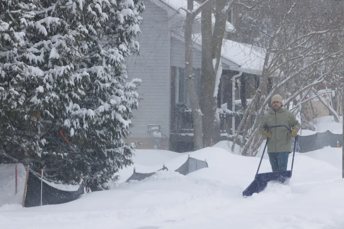
Large areas of Ontario are bracing for another harsh winter day as heavy snow and strong winds sweep across the province. Weather officials warn that blizzard and snow squall conditions will affect much of southern and central Ontario, making travel difficult and, in some places, dangerous.
Blizzard Warnings in Effect
Environment Canada has issued orange-level blizzard warnings for 10 regions across the province. These include the Bruce Peninsula, Goderich, Hanover, Niagara Falls, and Northern and Southern Perth counties.
Forecasters say powerful west winds gusting between 70 and 90 kilometers per hour will combine with heavy snowfall to create near-zero visibility. Wind chills are expected to drop between –20 and –25, adding to the harsh conditions.
Heavy Snowfall Expected
Most affected regions can expect between 10 and 25 centimeters of snow. However, areas near the Bruce Peninsula and Owen Sound may see significantly more, with totals reaching 20 to 40 centimeters by the time the storm passes.
Snow squalls are expected to begin Monday morning. Conditions are likely to worsen through the afternoon and evening as blizzard conditions take hold. For many communities, snow squalls may continue into Tuesday morning.
Snow Squall Alerts Beyond Blizzard Zones
Even areas not under a full blizzard warning will not avoid the storm. Yellow-level snow squall warnings and blowing snow advisories cover parts of southern and eastern Ontario.
Communities including Windsor-Essex, Chatham-Kent, Norfolk County, Kitchener, Kingston, Barrie, Parry Sound, and Manitoulin Island face periods of heavy snow and sharply reduced visibility. Officials warn drivers to expect sudden whiteout conditions, especially during heavier bursts of snow.
Snowfall amounts in these regions may range from 10 to 20 centimeters. Some locations, such as Parry Sound and Orillia, could see totals climb much higher, possibly reaching 40 to 50 centimeters.
Longer-Lasting Storm in Central Ontario
While snowfall may ease later in the day for parts of southern Ontario, central areas could see the storm linger. Orillia and nearby communities may continue to receive snow into Tuesday, prolonging cleanup efforts and travel delays.
Travel and Safety Concerns
Officials urge residents to avoid unnecessary travel during the storm. Snow-covered roads, blowing snow, and poor visibility may make driving extremely difficult. Pedestrians should also use caution, as sidewalks and walkways may become hard to navigate due to drifting snow.
Residents are encouraged to stay informed, prepare for changing conditions, and allow extra time if travel becomes unavoidable. Emergency kits, warm clothing, and charged devices can help reduce risk during power outages or road delays.