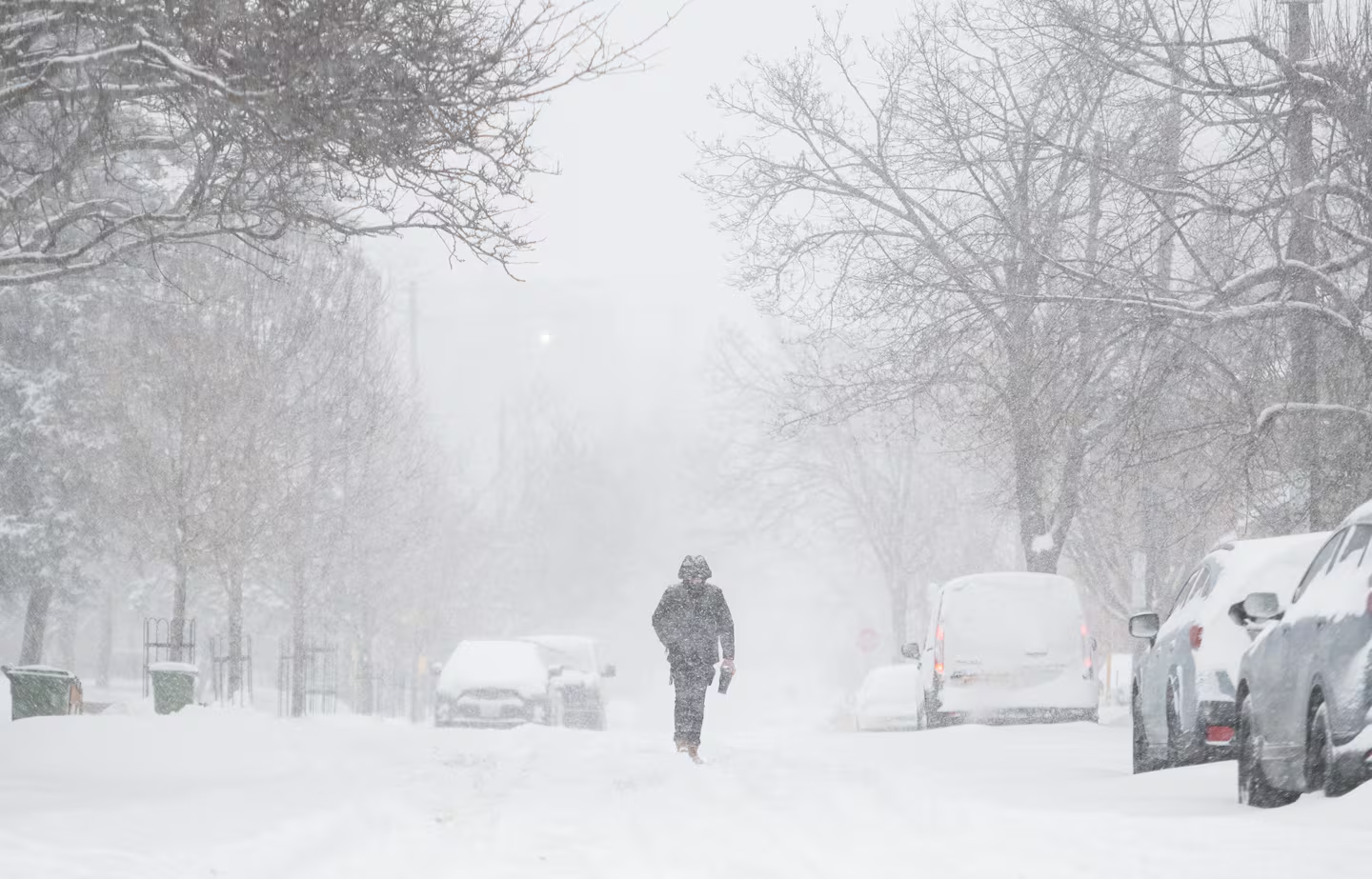
A person makes their way along a street in Ottawa as heavy snow falls on Thursday, Feb. 13, 2025. CTV
Canadians woke up on Sunday to a wide mix of weather across the country. Some regions faced bitter cold and strong winds, while others dealt with snow, freezing rain, fog, or brief sunshine. From coast to coast, winter showed no signs of easing.
David Phillips, a climatologist with Environment and Climate Change Canada, described this winter as exhausting and unrelenting.
“It was not just cold, but it was snowing, and often you don’t get the two together,” he said during a Sunday interview.
Phillips pointed out that cities such as Toronto, Ottawa, and Montreal recorded their warmest fall on record. Since November, however, those same cities have endured colder-than-normal temperatures.
Ontario and Quebec Under Deep Freeze
Much of southern Ontario remained under a cold warning on Sunday. Toronto and Ottawa both recorded daytime temperatures well below zero, with wind chills making it feel far colder. Officials warned that overnight wind chills could drop to between -30 and -40 in some surrounding areas.
Weather officials urged residents to take care and watch for signs of cold-related illness. These signs include numbness, tingling, weakness, shortness of breath, chest pain, or changes in skin colour on fingers and toes. They advised people to dress in warm layers and wear outer clothing that blocks the wind.
Thunder Bay saw slightly milder conditions, though cold air and flurries remained possible overnight. Montreal did not fall under an official cold warning, but residents still faced harsh wind chills through the evening and night. Quebec City experienced similar conditions, with cold air and brisk winds expected to continue.
Fog, Ice, and Mixed Conditions in the West
Parts of Manitoba and Saskatchewan dealt with dense fog on Sunday, especially near provincial borders. Weather alerts warned drivers that visibility could drop suddenly, making travel dangerous.
In and around Saskatoon, freezing rain created icy conditions on roads and sidewalks. Officials warned of a high risk of slips and falls before rain changed over to snow.
Phillips noted a sharp contrast between eastern and western Canada this winter. While the east shivered, cities such as Edmonton and Calgary enjoyed warmer-than-usual temperatures and sunshine. Though nighttime temperatures dipped below freezing, daytime highs stayed above zero.
British Columbia also saw milder conditions. Vancouver, Victoria, and Prince George experienced relatively warm temperatures with a mix of sun, rain, and occasional flurries expected through the week.
Snow and Storms in Atlantic Canada
Parts of Newfoundland and Labrador prepared for heavy snowfall, with some inland areas expecting up to 20 centimetres. Officials said coastal regions would see less snow due to milder air.
Across Prince Edward Island, Nova Scotia, and New Brunswick, light snow remained possible throughout the week, keeping winter firmly in place.
Harsh Conditions in the North
Northern regions faced some of the most dangerous conditions. North of Whitehorse, blizzard warnings remained in effect, with winds gusting up to 90 kilometres per hour. Combined with temperatures near -35, wind chills could reach between -45 and -50, raising the risk of frostbite and hypothermia.
Yellowknife and Iqaluit also continued to experience deep cold, with temperatures hovering near -20.
No Quick End in Sight
Phillips said a brief warm-up could reach parts of eastern Canada, but he cautioned against expecting an early spring.
“It’s going to be cold from coast to coast,” he said.
“We still have a lot of winter to go.”