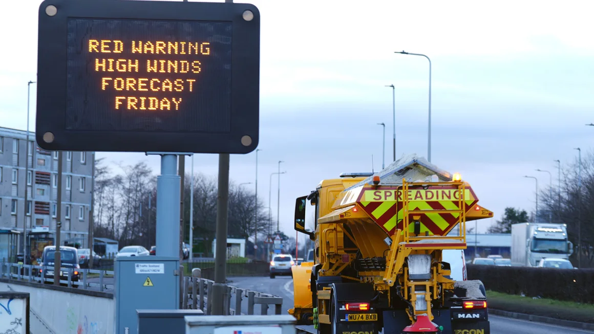
A road sign in Edinburgh, UK, alerts drivers to severe weather expected on Friday. Getty Images
Ireland and the United Kingdom are preparing for one of the most intense storms in recent years as Storm Éowyn barrels across the North Atlantic, rapidly intensifying into a powerful "bomb" cyclone. Authorities have issued urgent warnings, closed schools, and suspended public transport in anticipation of the storm's severe impact.
Storm Éowyn, named after a character from Tolkien lore and pronounced "Ay-oh-win," is expected to unleash fierce winds, torrential rain, and snow in parts of the UK and Ireland. The Irish Meteorological Service has declared red wind warnings—the highest alert—across much of Ireland, predicting gusts exceeding 80 miles per hour. Similarly, the UK Met Office has placed Northern Ireland under a rare red warning for wind, marking the first such alert in over a decade.
Paul Gundersen, Chief Meteorologist at the Met Office, emphasized the gravity of the situation, stating, “We reserve the issuing of red warnings for the most severe weather which represents a likely danger to life and severe disruption, and that is the case with Storm Éowyn.”
Ireland’s National Emergency Coordination Group echoed these concerns. Keith Leonard, the group’s chair, called the storm “a very dangerous and destructive weather event.” As a precaution, schools across Ireland and Northern Ireland will remain closed on Friday. Public transport in Ireland will also come to a halt to ensure public safety.
Dangerous Conditions Anticipated
The storm is expected to bring a mix of destructive winds and treacherous conditions. Nicholas Leach, a weather researcher from Oxford University, warned of “potentially severe damage” from flying debris and falling trees, creating hazardous driving conditions.
While the storm's strong winds are a primary concern, heavy snow is also forecast in parts of northern England and southern Scotland. Snowfall in Scotland’s central belt could reach six to ten inches, adding to the chaos. Yellow warnings for snow are in effect for these regions.
Comparisons to Past Storms
Experts are drawing parallels between Éowyn and previous devastating storms. Ambrogio Volonté from the University of Reading noted that the storm’s intensity could rival that of Storm Eunice in 2022 and Storm Ciarán in 2023, both of which resulted in tragic loss of life and widespread damage.
Storm Éowyn’s rapid intensification classifies it as a "bomb" cyclone, a term used for storms that experience a sudden and dramatic drop in atmospheric pressure. Leach explained that these cyclones are often the most impactful winter storms in Northern Europe.
Lingering Impacts Expected
While Éowyn is predicted to move away from the UK by Saturday, the Met Office has issued yellow wind warnings for northern regions, extending into the morning and early afternoon.
The storm’s sheer force has sparked discussions about its connection to climate change. Leach noted that the impact of the climate crisis on extratropical cyclones remains uncertain. However, some research suggests that the strongest storms, like Éowyn, may be intensifying due to global warming.