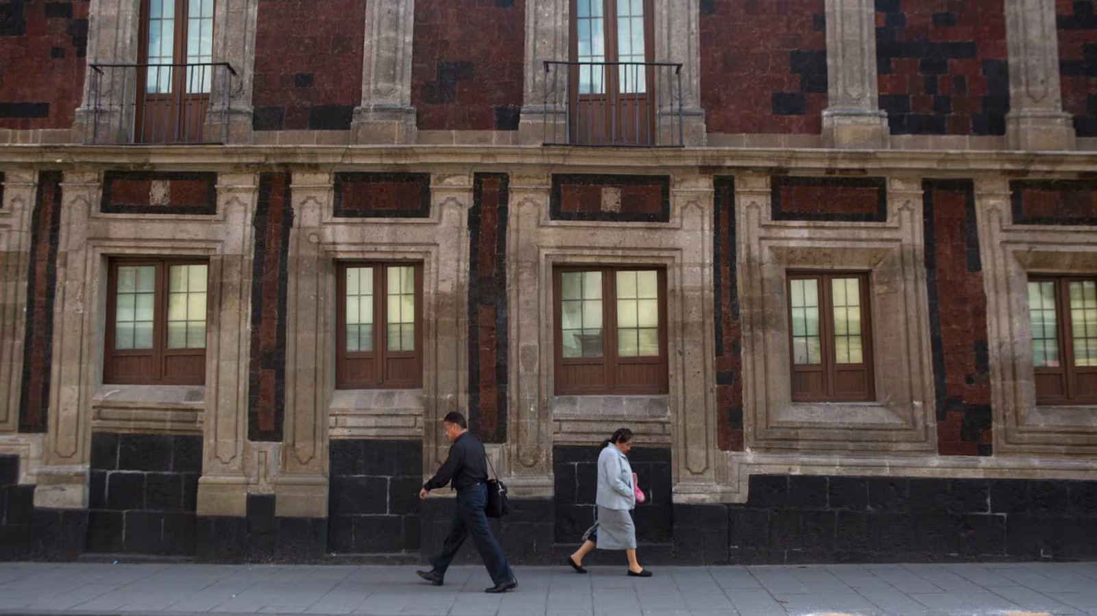
Pedestrians walk past a tilted historic building in Mexico City. AP
Mexico City is sinking at an alarming rate of 25 centimetres per year, a situation that has been tracked by NASA’s satellite imagery. This makes Mexico City one of the fastest-sinking major cities in the world. Built atop an ancient lake bed, the sprawling metropolis, with a population of about 22 million people, is facing one of the most pressing environmental challenges of the 21st century.
A Century of Sinking Due to Groundwater Depletion
The sinking of Mexico City has been an ongoing issue for more than 100 years. The primary cause of this dramatic subsidence is extensive groundwater pumping, which has caused the city’s aquifer to shrink significantly. This shrinking has led to uneven sinking across the city, with older buildings, such as the historic Metropolitan Cathedral (constructed in 1573), visibly tilting. Mexico City's urban development, combined with this century-long reduction in groundwater levels, has only worsened the situation.
Enrique Cabral, a geophysics researcher at the National Autonomous University of Mexico, described the problem as catastrophic. “It damages part of the critical infrastructure of Mexico City, such as the subway, the drainage system, the water, the potable water system, housing, and streets,” Cabral said. The consequences are becoming more severe, especially in light of the region’s already strained water supply.
The Speed of Subsidence: Mexico City's Sinking Crisis
Mexico City’s rate of subsidence is so rapid that it can be seen from space. NASA’s latest findings indicate that in some areas, the city is sinking at an average of two centimetres per month, particularly in critical zones like the main airport and the famous Angel of Independence monument. Over a year, this means a total subsidence of around 24 centimetres, adding up to more than 12 metres in less than a century.
“We have one of the fastest velocities of land subsidence in the whole world,” said Cabral, underlining the urgency of the situation.
NASA's Satellite Technology Tracks Mexico City’s Sinking
NASA’s satellite imagery, particularly from the NISAR satellite, has been pivotal in monitoring the sinking of Mexico City. NISAR, a joint project between NASA and the Indian Space Research Organization (ISRO), captured detailed measurements of the city’s surface changes from October 2025 to January 2026. This advanced satellite can track real-time changes on Earth’s surface, offering unprecedented insights into the ongoing crisis.
Paul Rosen, a scientist with the NISAR project, explained that the satellite captures not just visible changes but also provides data on the forces occurring below the surface. This technology will help better understand the scope of subsidence and could eventually enable scientists to track subsidence on a building-by-building basis.
Future Applications of NISAR Technology
While the immediate focus is on Mexico City, the NISAR satellite’s capabilities offer broader applications. In the future, scientists plan to use the satellite data to monitor other global issues, including natural disasters, shifting fault lines, and the effects of climate change, particularly in regions like Antarctica.
For Mexico City, the NISAR data is already a game changer. The city’s authorities have, for decades, largely ignored the subsidence problem, only stabilizing foundations under certain monuments. But, with the recent flare-ups in the water crisis, the government has started to invest in more research. Cabral believes that the satellite data will be crucial in guiding long-term solutions to the sinking problem.